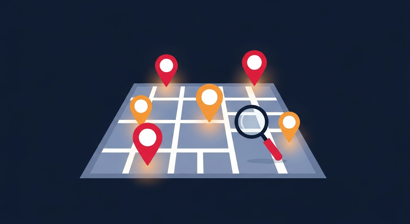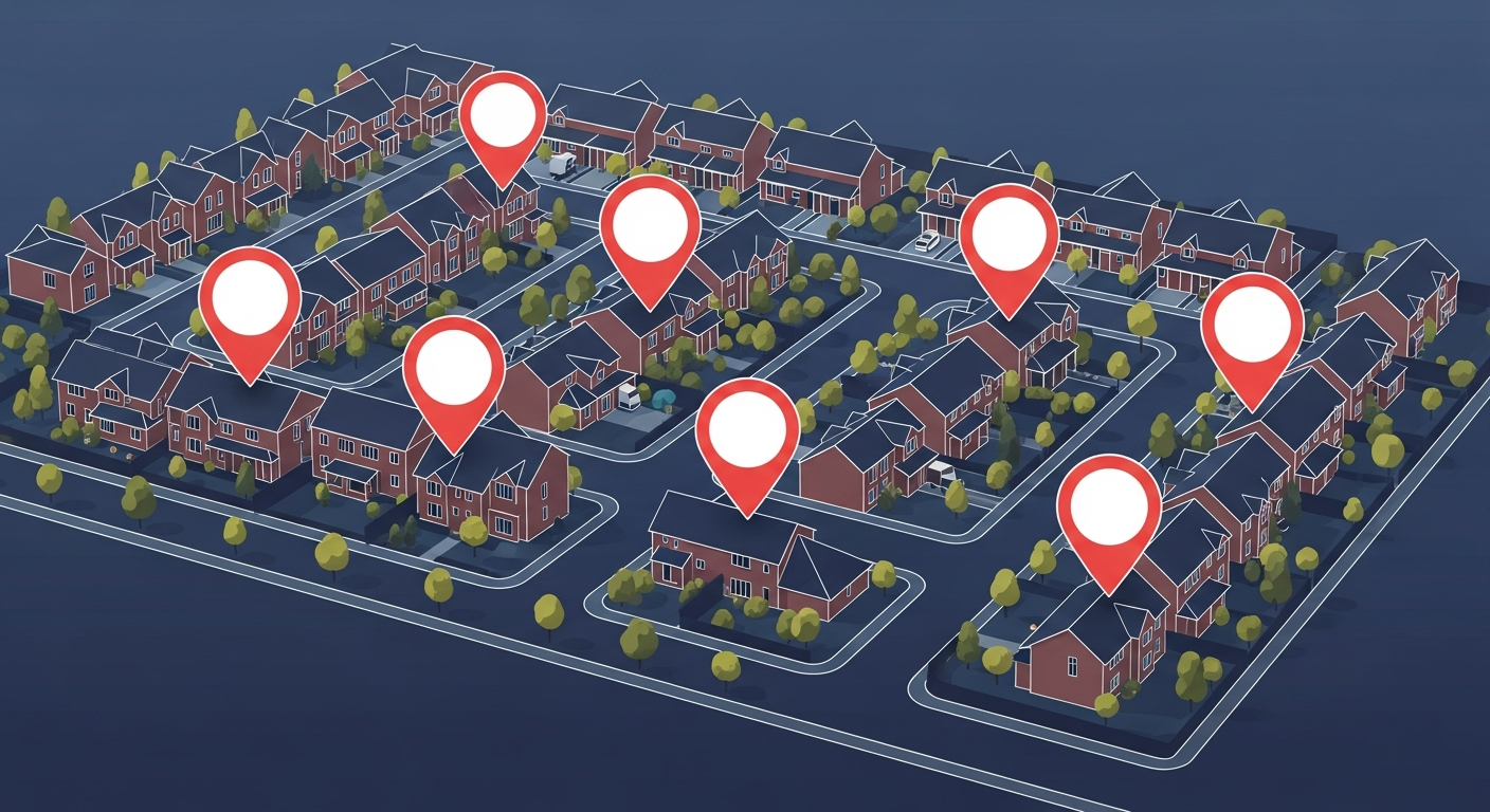
A neighborhood crime map zooms in where it matters most — your block, your street, the route your children walk to school. While citywide statistics are useful, a hyper-local map gives you the detail you need to make everyday safety decisions.
Why Hyper-Local Data Matters
Crime is rarely evenly distributed. Two streets a few blocks apart can have dramatically different safety profiles. A neighborhood crime map reveals these micro-patterns: the parking lot where break-ins cluster, the intersection with repeated incidents, the quiet cul-de-sac with almost none.
How to Read Your Neighborhood Crime Map
- Markers: Each pin represents a reported incident with a type and date.
- Colors: Severity is usually color-coded — red for serious incidents, amber for moderate, green for minor.
- Clusters: Groups of markers reveal hotspots worth avoiding or securing against.
- Filters: Narrow the view by crime type or time period to spot specific trends.
Turning Insight Into Action
Once you understand your neighborhood's patterns, you can act. Install motion lighting where thefts cluster. Coordinate with neighbors to watch a problem corner. Report new incidents promptly so the map stays accurate for everyone.
A neighborhood crime map is most powerful when the whole community participates. The more neighbors who report, the clearer the picture becomes. Learn how to organize your block in our guide to community crime watch programs.
You can also set up real-time crime alerts so you never miss an incident near your home.
Stay Informed. Stay Safe.
Crime Stop gives you real-time crime reports, interactive maps, and safety alerts for over 100 US cities. Join your community today.
Explore the Crime Map