Modern crime mapping software has changed how everyday residents understand safety in their own streets. Instead of relying on rumors or scattered news headlines, communities using Crime Stop at crimemapus.com can see incidents plotted on an interactive map and make informed decisions about where they live, work, and travel.
What Crime Mapping Software Actually Does
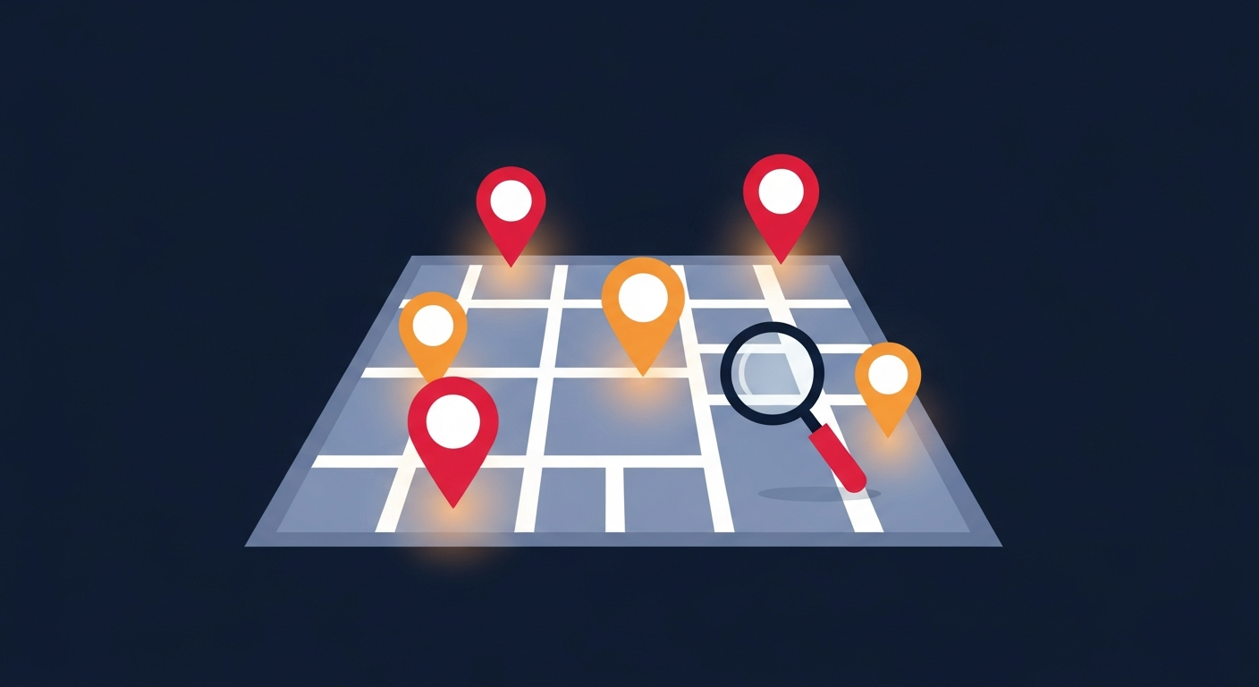
At its core, this technology takes individual reports and locations, then displays them geographically so patterns become visible. A single break-in tells you little, but ten incidents clustered on one block tells a story worth acting on.
Good software layers time, category, and severity onto the map so you can filter what matters to you, whether that is late-night theft or daytime vandalism.
Key Features to Look For
Not all platforms are equal. The most useful ones combine ease of use with meaningful data depth.
- Interactive filtering by crime type, date range, and radius
- Mobile access so you can check conditions on the go
- Community reporting so residents contribute local knowledge
- Clear visual heat layers that highlight problem areas
- Alerts that notify you when incidents happen nearby
Turning Maps Into Action
The real value comes when residents use these insights to organize. Neighbors can coordinate watch efforts, request extra patrols, or simply adjust daily habits like parking or evening walks.
When a whole block engages with the same data, small individual observations add up to a powerful shared picture of local safety.
Ready to dig deeper? Learn how to use a neighborhood crime map effectively, and explore ways to start building safer streets with a community crime watch in your area.
Stay Informed. Stay Safe.
Crime Stop gives you real-time crime reports, interactive maps, and safety alerts for over 100 US cities. Join your community today.
Explore the Crime Map