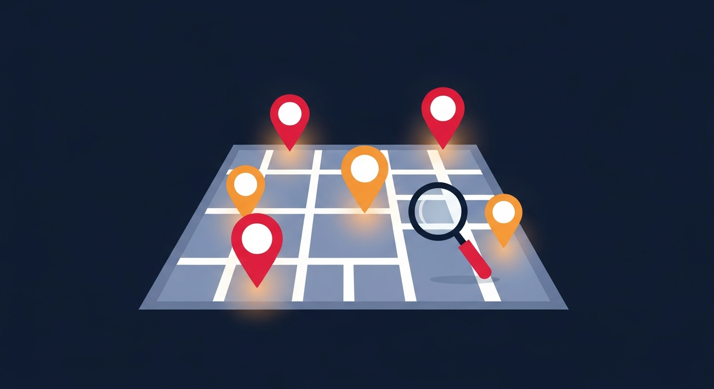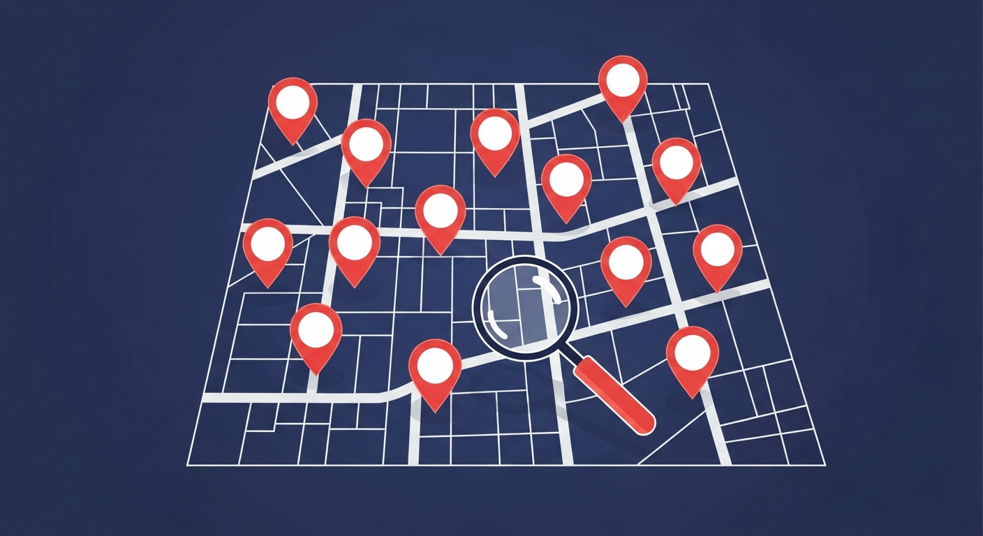
If you have ever typed "crime map near me" into a search engine, you are not alone. Millions of Americans want to know what is happening on their streets — before they buy a home, walk to work, or let their kids play outside. A good crime map turns scattered police reports and neighbor accounts into a single, easy-to-read picture of your area.
What a Crime Map Near You Actually Shows
A modern crime map plots individual incidents — thefts, burglaries, assaults, vandalism, and suspicious activity — as markers on an interactive map. Each marker typically includes the type of crime, the date, the severity, and a short description. Color coding helps you instantly spot high-severity incidents versus minor ones.
Crime Stop maps incidents across more than 100 US cities, updating in real time as community members and administrators report new events. Instead of digging through PDF police blotters, you see your neighborhood at a glance.
How to Use a Crime Map Near You
- Check before you move: Compare incident density between neighborhoods you are considering.
- Plan safer routes: Identify streets with recent activity and choose well-traveled alternatives.
- Spot patterns: A cluster of car break-ins on one block tells you to secure your vehicle.
- Stay alert: Enable real-time alerts so you know the moment something happens nearby.
Reading the Data Responsibly
Remember that a crime map reflects reported incidents, not every event. Areas with engaged communities often show more reports simply because more people are participating. Use the map as one tool among many — combined with local news, neighborhood groups, and common sense.
For more on interpreting the numbers, read our guide on local crime statistics and how to find crime data by zip code.
Stay Informed. Stay Safe.
Crime Stop gives you real-time crime reports, interactive maps, and safety alerts for over 100 US cities. Join your community today.
Explore the Crime Map